Inside Passage Alaska-Canada
Canada
574
Cruises availables
At departure or passage at this port
American Cruise Lines (68 Cruises)
American Constellation
36 Cruises
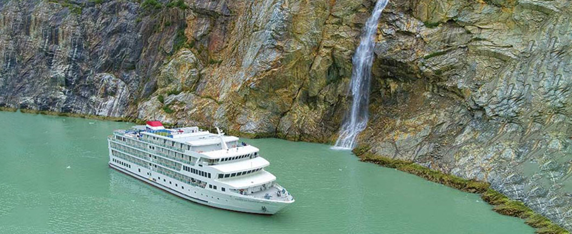

| 16 May | 16 days | One-way from Tacoma WA to Juneau |
450-628-6241
Call us
|
| 17 May | 13 days | One-way from Tacoma WA to Juneau |
450-628-6241
Call us
|
| 15 May | 16 days | One-way from Tacoma WA to Juneau |
450-628-6241
Call us
|
| 16 May | 13 days | One-way from Tacoma WA to Juneau |
450-628-6241
Call us
|
American Constitution
32 Cruises
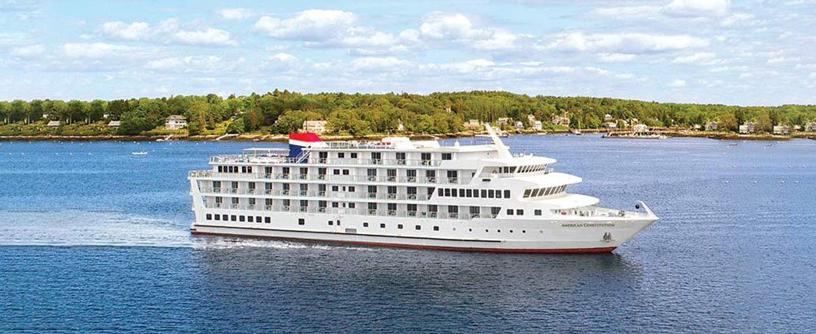
| 25 May | 16 days | One-way from Tacoma WA to Juneau |
450-628-6241
Call us
|
| 26 May | 13 days | One-way from Tacoma WA to Juneau |
450-628-6241
Call us
|
| 2 July | 12 days | One-way from Ketchikan to Juneau |
450-628-6241
Call us
|
| 3 July | 9 days | One-way from Ketchikan to Juneau |
450-628-6241
Call us
|
| 24 May | 16 days | One-way from Tacoma WA to Juneau |
450-628-6241
Call us
|
| 25 May | 13 days | One-way from Tacoma WA to Juneau |
450-628-6241
Call us
|
| 21 June | 12 days | One-way from Juneau to Ketchikan |
450-628-6241
Call us
|
| 22 June | 9 days | One-way from Juneau to Ketchikan |
450-628-6241
Call us
|
| 1 July | 12 days | One-way from Ketchikan to Juneau |
450-628-6241
Call us
|
| 2 July | 9 days | One-way from Ketchikan to Juneau |
450-628-6241
Call us
|
Azamara Club Cruises (11 Cruises)
Azamara Pursuit
11 Cruises
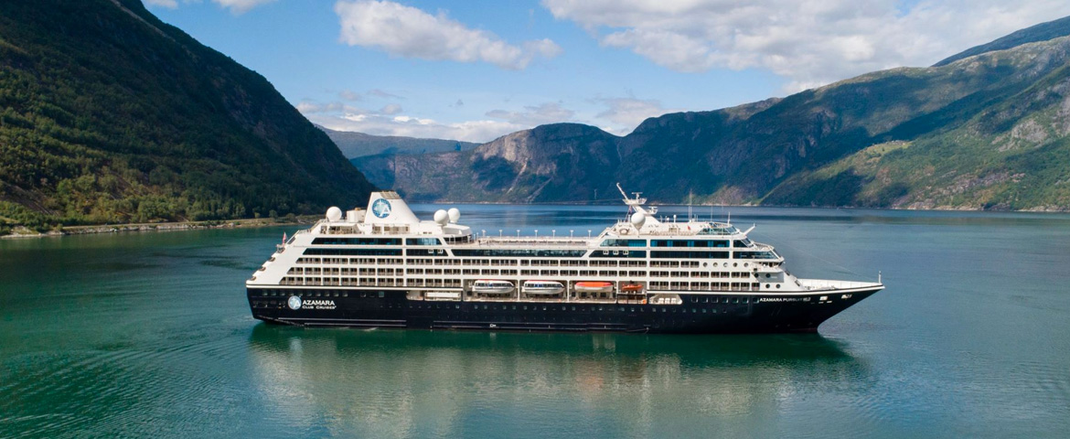
| 6 May | 38 days | One-way from Kobe-Osaka to Vancouver |
450-628-6241
Call us
|
| 20 May | 25 days | One-way from Tokyo to Vancouver |
450-628-6241
Call us
|
Celebrity Cruises (57 Cruises)
Celebrity Edge
19 Cruises

| 21 May | 7 days | Round-trip Alaska Celebrity Edge Seattle Wa |
From
1360$
|
| 28 May | 7 days | Round-trip Alaska Celebrity Edge Seattle Wa |
From
1736$
|
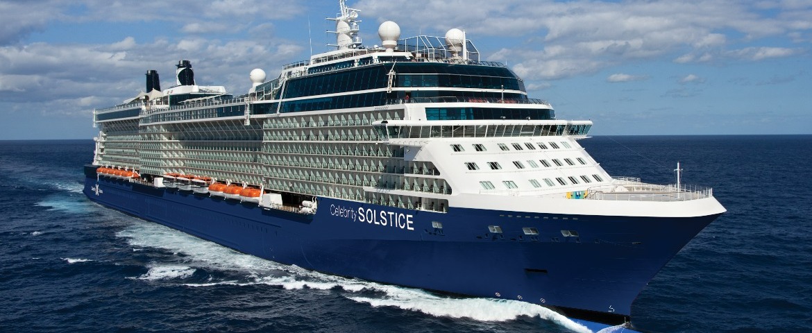
Celebrity Solstice
20 Cruises
Celebrity Summit
18 Cruises

Holland America Line (196 Cruises)

ms Koningsdam
53 Cruises

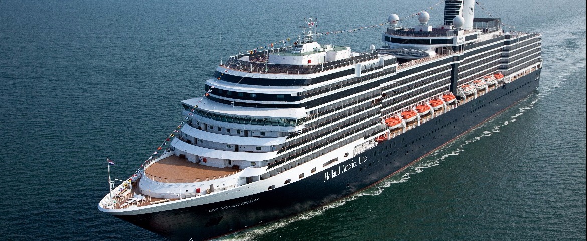
ms Nieuw Amsterdam
30 Cruises
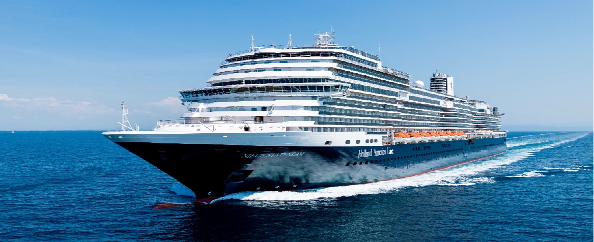
ms Nieuw Statendam
30 Cruises
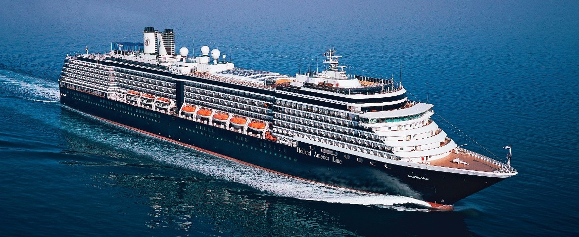
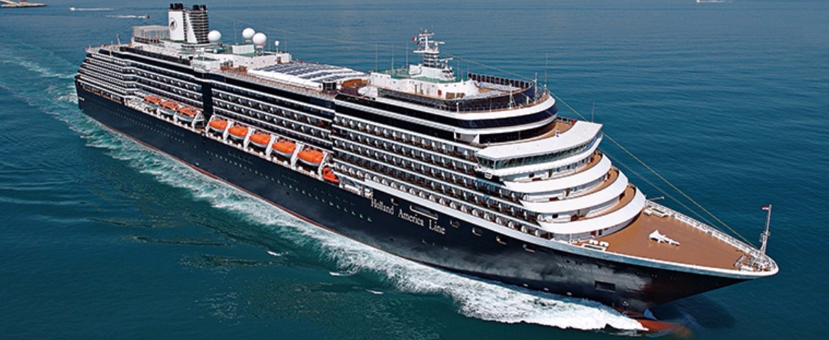
ms Westerdam
30 Cruises
| 11 April | 28 days | One-way from Tokyo to Vancouver |
450-628-6241
Call us
|
| 25 April | 14 days | One-way from Tokyo to Vancouver |
450-628-6241
Call us
|
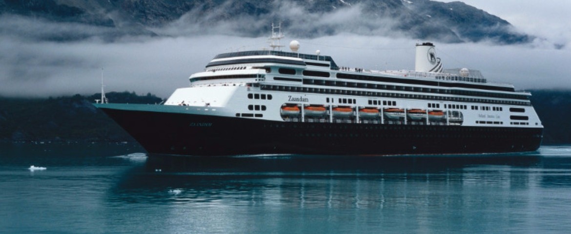
ms Zaandam
50 Cruises

Lindblad Expeditions (4 Cruises)



Norwegian Cruise Line (19 Cruises)
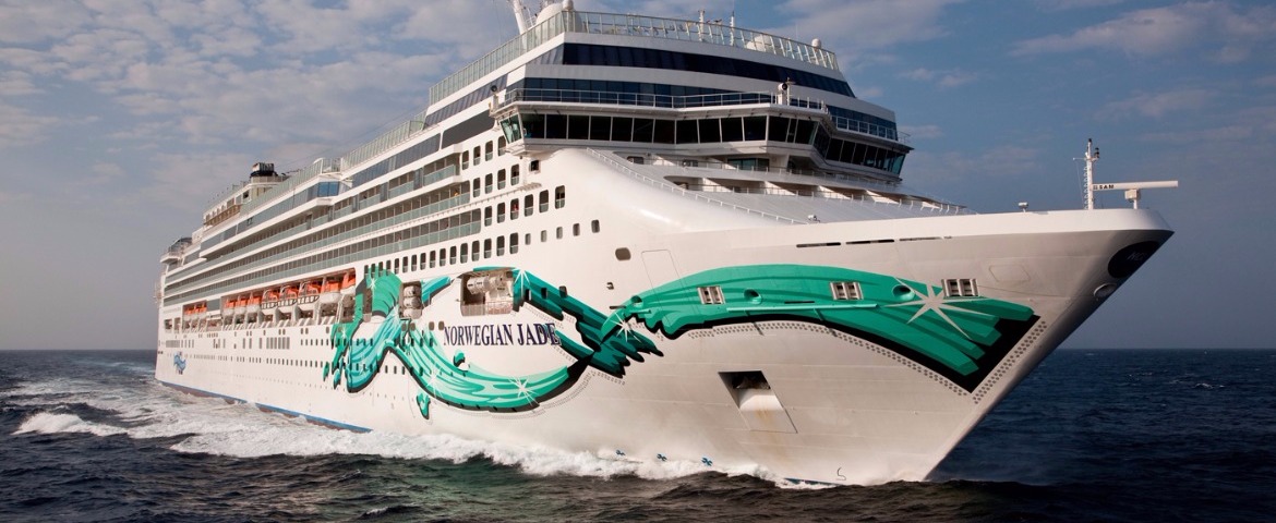
Norwegian Jade
19 Cruises
Regent Seven Seas Cruises (40 Cruises)
Seven Seas Explorer
19 Cruises
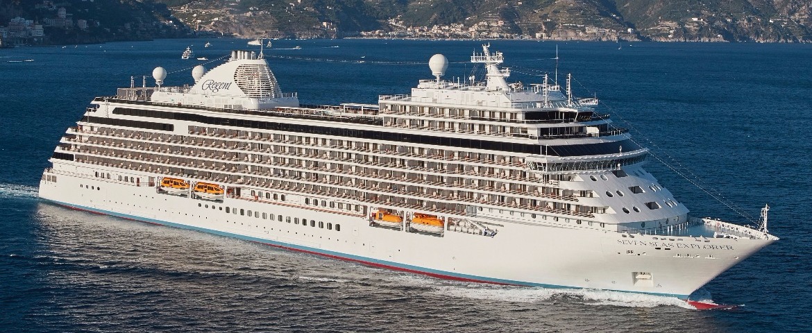
| 7 May | 19 days | One-way from Tokyo to Vancouver |
450-628-6241
Call us
|
| 26 May | 7 days | One-way from Vancouver to Whittier Anchorage, AK |
450-628-6241
Call us
|
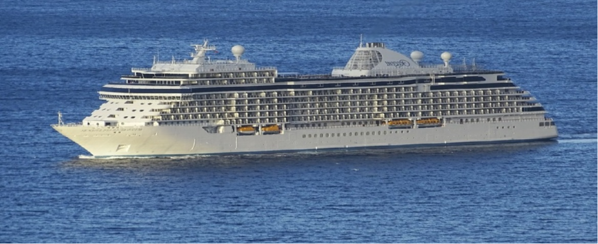
Seven Seas Splendor
20 Cruises
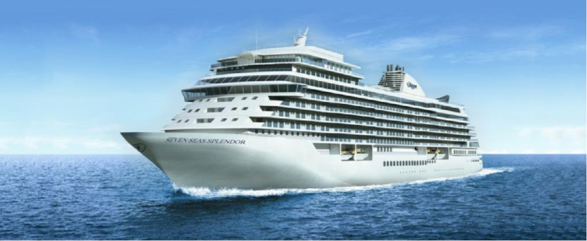
| 24 May | 7 days | One-way from Vancouver to Whittier Anchorage, AK |
450-628-6241
Call us
|
| 31 May | 7 days | One-way from Whittier Anchorage, AK to Vancouver |
450-628-6241
Call us
|
Royal Caribbean Cruises (20 Cruises)
Serenade of the Seas
20 Cruises


Seabourn Cruise Line (44 Cruises)
Seabourn Encore
44 Cruises
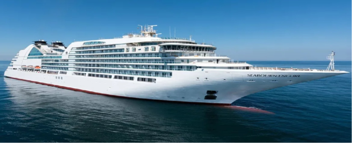
| 8 April | 34 days | One-way from Yokohama to Vancouver |
450-628-6241
Call us
|
| 22 April | 20 days | One-way from Tokyo to Vancouver |
450-628-6241
Call us
|
Silversea Cruises (31 Cruises)
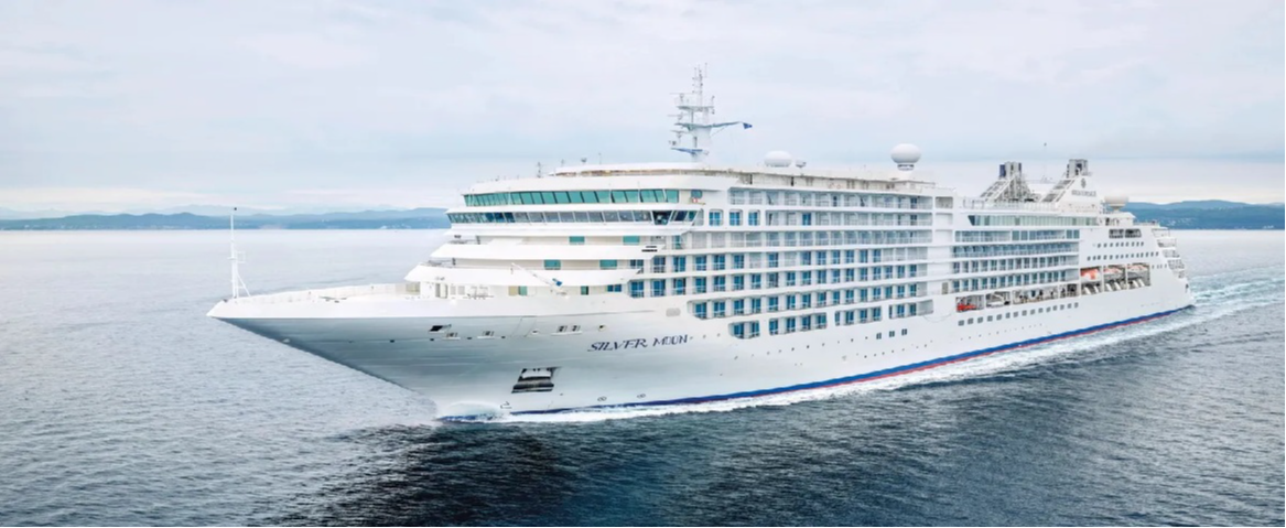
Silver Moon
16 Cruises
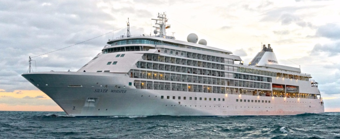
Silver Whisper
15 Cruises
Viking Ocean Cruises (66 Cruises)
Viking Orion
32 Cruises

| 4 May | 20 days | One-way from Tokyo to Vancouver |
450-628-6241
Call us
|
| 24 May | 9 days | One-way from Vancouver to Seward |
450-628-6241
Call us
|
| 7 May | 34 days | One-way from Hong Kong to Vancouver |
450-628-6241
Call us
|
| 21 May | 20 days | One-way from Tokyo to Vancouver |
450-628-6241
Call us
|
Viking Venus
34 Cruises

| 1 March | 90 days | One-way from Auckland to Vancouver |
450-628-6241
Call us
|
| 14 March | 77 days | One-way from Sydney to Vancouver |
450-628-6241
Call us
|
| 10 May | 20 days | One-way from Tokyo to Vancouver |
450-628-6241
Call us
|
| 30 May | 9 days | One-way from Vancouver to Seward |
450-628-6241
Call us
|
| 4 February | 90 days | One-way from Auckland to Vancouver |
450-628-6241
Call us
|
| 17 February | 77 days | One-way from Sydney to Vancouver |
450-628-6241
Call us
|
Virgin Voyages (11 Cruises)
Brilliant Lady
11 Cruises

| 10 June | 7 days | Round-trip 7 Night Alaska Inside Passage and Glacial Fjords Cruise |
450-628-6241
Call us
|
Alaska & Canada Inside Passage | Cruise Guide
Frequently Asked Questions
A vast network of sheltered channels running more than 1,500 km between Washington State, British Columbia and southeast Alaska. Shielded from the open ocean by thousands of islands, these waters stay calm even when the Pacific is rough.
No, and that is the point: here the route itself is the destination. The day is spent on deck watching fjords, waterfalls and wildlife go by.
Deep fjords, straits in sequence and mountains dropping straight into the sea. In Alaska the route crosses Tongass National Forest, the largest in the United States: nearly 70,000 km² of temperate rainforest.
Humpback whales, given away by blows visible for kilometres, killer whales in tight formation, Pacific white-sided dolphins in the bow wave. On the rocks, Steller sea lions squabble over the best spots; overhead, bald eagles patrol constantly.
Early morning above all: low light and glassy water make the best viewing conditions. But wildlife gives no warning, so step outside regularly through the day.
A passage with feared currents north of Vancouver, which ships must transit exactly at slack water. Officers usually announce it over the public address, along with the other landmarks of the route.
Most are not, including Juneau, Alaska's capital. Everything arrives by boat or plane, and the Alaska Marine Highway ferries serve as the bus network.
Binoculars, kept within reach on the balcony and at the dining table, and layered clothing. A chart for following the straits you cross adds to the pleasure.
Better than most itineraries. The island-sheltered waters are generally calm, which is part of why this route is so popular. The exposed stretches, such as the Gulf of Alaska, lie elsewhere on the voyage.
These channels served as a marine highway for First Nations long before cruise ships: Tlingit and Haida cedar canoes, then steamers crowded with prospectors heading for the Klondike in 1898. The setting has barely changed.


