Bjornoya-Bear Island Svalbard Norway
Norway

38 Cruises availables At departure or passage at this port

Bjørnøya, Norway | Cruise Port Guide

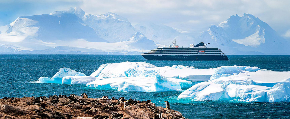
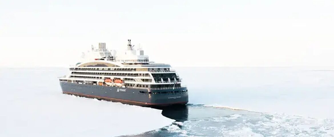
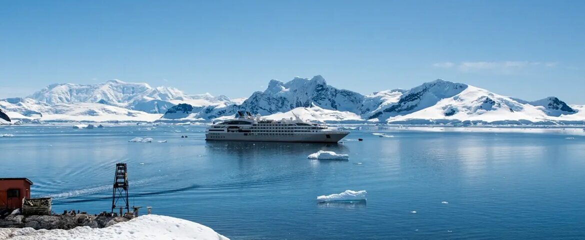
The mist lifts, and an island emerges where only sea existed. Bjørnøya, the Bear Island, marks the southern limit of the Svalbard archipelago, roughly midway between the Norwegian coast and Spitzbergen, in the open Barents Sea. Dutch navigator Willem Barentsz gave it its name in 1596, after his crew faced a polar bear swimming offshore. More than four centuries later, the place remains one of Europe's most solitary locations, and the expedition ships that approach it offer their passengers a rare privilege.

Nine Inhabitants and an Ocean

Across its 178 square kilometres of tundra, lakes and cliffs, Bjørnøya counts no permanent community, with one exception: the weather and radio station of Herwighamna, on the northern coast, founded in 1919. Nine people live there in rotation, tasked with gathering data that feeds forecasts across the entire North Atlantic. Their post ranks among the world's most isolated: no harbour worthy of the name, no landing strip, only an exposed anchorage and the occasional visit of a supply ship.

Cliffs Covered With Birds

The south offers this land's most striking face: walls dropping into the sea, carved with caves and arches, where nests one of the Northern Hemisphere's greatest concentrations of seabirds. In breeding season, some estimates speak of nearly a million individuals: guillemots, kittiwakes, fulmars and puffins carpet the ledges and saturate the air with their constant movement. Captains often slow along these cliffs, and the exposed decks fill with passengers, binoculars in hand, as birds swirl around the rocks rising offshore. The very scent of the colony, borne on the wind, testifies to this improbable density of life in open sea.

Disembark, If the Sea Permits

Landings remain exceptional and strictly controlled: reefs, swell and fog make approaches tricky, and the site's nature benefits from rigorous protection. When conditions allow, zodiacs deposit visitors near Herwighamna, where you walk bare tundra scattered with lakes, among remnants of former hunting activities and small abandoned mining operations. Despite what its name suggests, the place does not shelter an established polar bear population: the visitor will mostly encounter birds, by tens of thousands.

Yet you must approach this stage with an expedition mindset: at Bjørnøya, weather decides everything. Many ships must settle for a passage along the coasts, and that spectacle—mist-shrouded cliffs, birds in clouds, ocean stretching to the horizon—amply justifies the detour.

A Waypoint Between Two Worlds

For most itineraries, this stop serves as a milestone between mainland Norway and Svalbard's Far North. A day at sea precedes it, another follows, and its appearance on the horizon takes on the aspect of crossing a border: here the Arctic truly begins. Lecturers on board often seize the approach to tell of shipwrecks, winterings and scientific expeditions that have marked these waters, from seventeenth-century walrus hunters to today's meteorologists.

What Remains After Passage

When the island dissolves again into mist, everyone gauges the fortune of having seen close this corner of earth that so few travellers will ever approach. Bjørnøya offers neither village nor monument: it offers the essential—the sensation of having passed to the limits of the inhabited world. And that is precisely the sort of memory that gives expedition cruises their particular value.

Frequently Asked Questions

In the open Barents Sea, roughly midway between the Norwegian mainland and Spitsbergen. It marks the southern limit of the Svalbard archipelago and covers 178 square kilometres of tundra, lakes and cliffs.
The Dutch navigator Willem Barentsz named it in 1596, after his crew confronted a swimming polar bear there. Despite the name, the island has no established polar bear population today.
Rarely, and it is worth knowing before booking. Landings are exceptional and tightly controlled: reefs, swell and fog make approaches difficult, and the site is rigorously protected. Many ships have to settle for cruising along the coast.
The south of the island shows its most impressive face: walls dropping into the sea, hollowed with caves and arches, carpeted with birds. Captains often slow along these cliffs and the outer decks fill up, binoculars in hand. That sight alone justifies the detour.
The island holds one of the largest seabird concentrations in the northern hemisphere: in the breeding season some estimates approach a million individuals. Guillemots, kittiwakes, fulmars and puffins line the ledges and fill the air with their comings and goings.
Nine people, on rotation, at the Herwighamna meteorological and radio station on the north coast, founded in 1919. They record the data feeding forecasts for the whole North Atlantic. It is one of the most isolated postings in the world: no proper harbour, no airstrip.
Zodiacs put visitors ashore near Herwighamna. You then walk over low tundra scattered with lakes, among the remains of old hunting activity and small abandoned mining works, under guidance.
Because it serves as a marker between mainland Norway and the high Arctic of Svalbard. A sea day precedes it and another follows, and its appearance on the horizon feels like crossing a border: this is where the Arctic truly begins.
None. No village, no shop, no currency to spend. Everything comes from the ship, including warm clothing and waterproof boots for a possible landing.
The Arctic summer, when birds occupy the cliffs and the sea more often allows an approach. Even then fog is frequent: at Bjørnøya, the weather decides everything.