Foula Island Scotland Shetland
United Kingdom

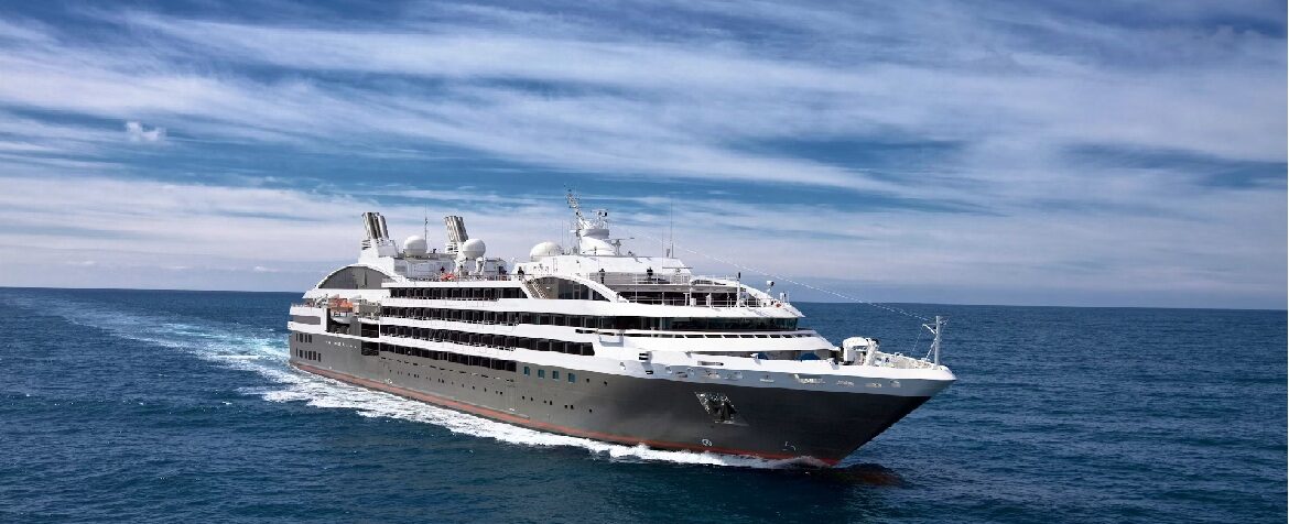
For hours, there is nothing. Then a shape breaks away from the horizon, alone in the middle of the North Atlantic: five peaks pressed close together, set on the sea some thirty kilometres west of the Shetland archipelago. Foula ranks among the most isolated inhabited islands in the United Kingdom. About thirty people still live there, spread across a handful of farms clinging to the low-lying land in the east. No pier can accommodate a cruise ship: landing is done by inflatable boat, weather and swell permitting. That uncertainty is part of the journey. Here, it's the sea that decides.

Among the Highest Cliffs in Britain

The island's western face drops into the ocean with rare violence. Da Kame, the most dramatic point, rises 376 metres above the waves, ranking it among the highest sea cliffs in Britain. Further south, a fissure called Sneck o da Smallie cuts 70 metres deep into the rock, a narrow passage where the wind whistles through. To the north, the Gaada Stack, a sandstone arch pierced with two openings, stands offshore like a door open onto nothing. These formations aren't fenced off behind barriers: visitors walk freely across the moor, simply keeping their distance from the edges.

The Kingdom of Birds

The island belongs, first and foremost, to its seabird colonies. It holds one of the highest concentrations of great skuas anywhere in the world, predators the Shetlanders call bonxies, which think nothing of swooping low over walkers who stray too close to their nests. Puffins, guillemots, kittiwakes, and fulmars nest in the cliffs and on the slopes. In spring and summer, the sky is never silent. Visitors accompanied by a local guide learn to read this soundscape, to spot puffin burrows, and to cross the moor without disturbing its residents.

A Life Apart

The Vikings settled here around the year 800, and their legacy lives on in the farm names of Hametoon, the southern hamlet. More surprising still: the community still follows the old Julian calendar for its festivals, and Christmas is celebrated here on January 6th. The island has its own school, a small church, and a grass airstrip connected to Shetland by tiny aircraft. Meeting a resident, exchanging a few words about the weather or the sheep, gives the visit a dimension the landscape alone can't provide. It brings home what it means to live at the mercy of storms, when supplies depend on a handful of boat crossings.

Walking at the Edge of the World

The hours ashore pass quickly. Some follow the single road that crosses the low ground, others climb toward the ridges to take in the full sweep of the view: the sea stretching 360 degrees around, Shetland a clear line on the eastern horizon, and sometimes nothing at all but mist. The weather changes within minutes, which turns every burst of sunshine into an event. Photographers know it well: Foula's light, low and ever-changing, is unlike any other.

What Stays With You After Foula

On the way back, as the boat pitches through the chop toward the ship, the island slowly returns to being a shape resting on the water. Few passengers forget this day. Foula shows no monuments, no flower-lined village: it confronts visitors with a different kind of scale, that of a rock inhabited against all odds, where a handful of families share the moor with tens of thousands of birds. Long afterward, it takes only a gust of wind to bring it all back to mind.

Frequently Asked Questions

By inflatable boat, and only if the swell allows. No quay can take a cruise ship. That uncertainty is part of the trip: here the sea decides, and a scheduled call is never guaranteed.
About thirty kilometres west of the Shetland archipelago, in the North Atlantic. The island is essentially five summits pressed together and set on the sea, and it ranks among the most isolated inhabited islands in the United Kingdom.
Around thirty, spread across a few farms clinging to the low ground in the east. The island has its own school, a small church and a grass airstrip served from Shetland by tiny aircraft. Supplies depend on a handful of boat crossings.
Walk, mainly. Some follow the single road across the low ground, others climb to the ridges for the 360-degree view over the sea, with Shetland showing clearly to the east. The rock formations of the west coast are approached freely, with no barriers and no waymarked path.
Da Kame rises 376 metres above the waves, placing it among the highest sea cliffs in Britain. Further south, the fissure of Sneck o da Smallie cuts 70 metres into the rock. To the north, the Gaada Stack, a sandstone arch pierced by two openings, stands offshore.
Yes, of the great skuas. The island holds one of the world's highest concentrations of these predators, known to Shetlanders as bonxies, and they will fly very close to walkers who approach their nests. Following a local guide is the best way to cross the moor without disturbing its occupants.
Puffins, guillemots, kittiwakes and fulmars nest on the cliffs and slopes. In spring and summer the sky is never silent. A local guide teaches you to spot the puffin burrows and to read that landscape of sound.
Because the community still follows the old Julian calendar for its festivals: Christmas falls on 6 January. Vikings settled here around the year 800, and their legacy survives in the farm names of the Hametoon, the southern hamlet.
For families with teenagers used to walking, yes. The inflatable landing, the complete absence of shops and services, the rough ground and the territorial skuas make it unsuitable for young children or anyone with reduced mobility.
Late May to early August, when the bird colonies are full and the sea most often allows a landing. The weather changes within minutes and every break in the cloud becomes an event: waterproofs and a windproof layer are essential even on a fine forecast.