Antsiranana Diego Suarez, Madagascar
Madagascar
17
Cruises availables
At departure or passage at this port
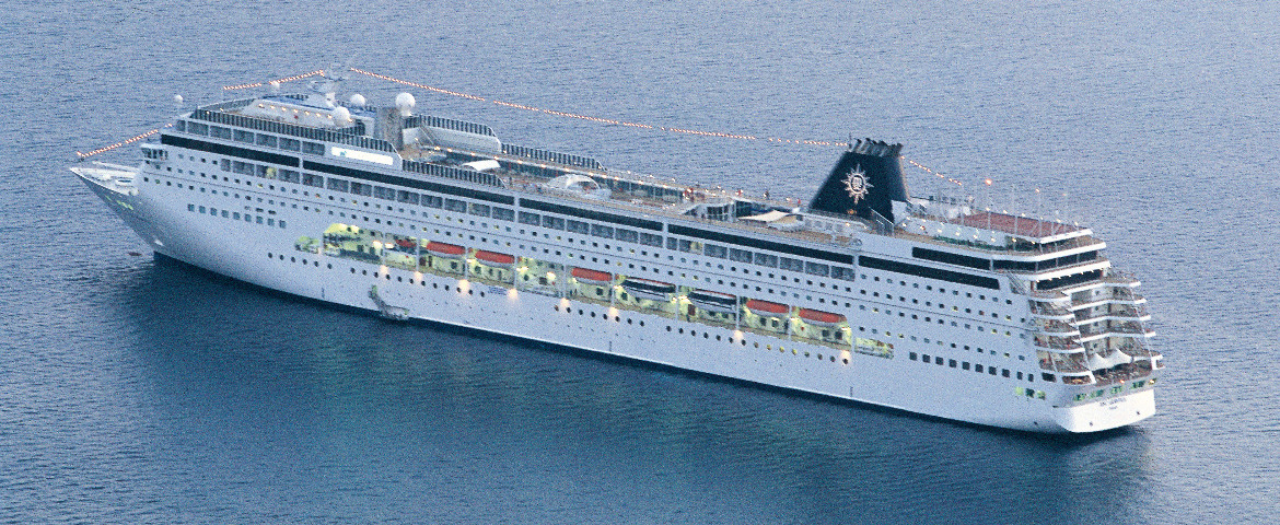
MSC Cruises (4 Cruises)

Regent Seven Seas Cruises (13 Cruises)
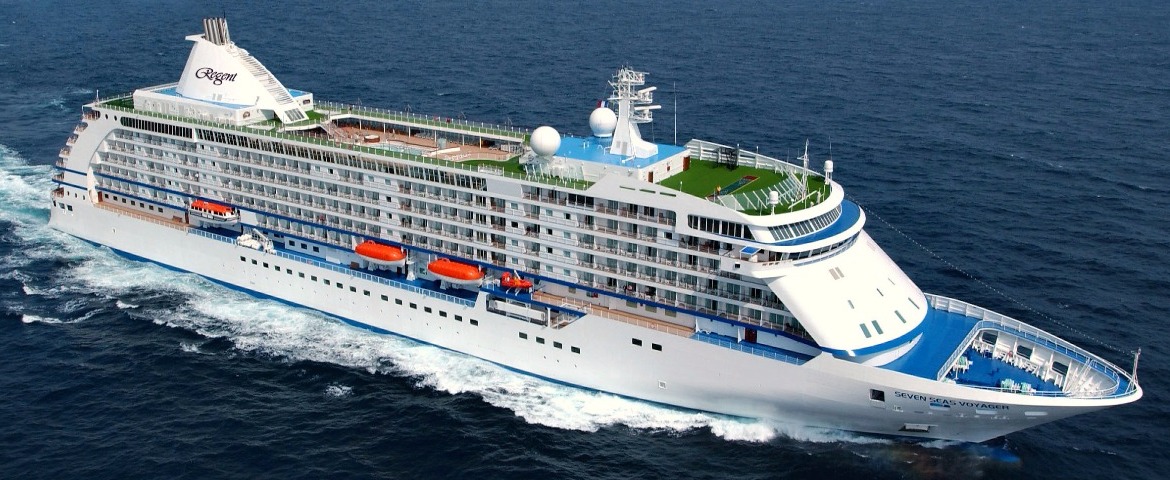
Seven Seas Mariner
8 Cruises
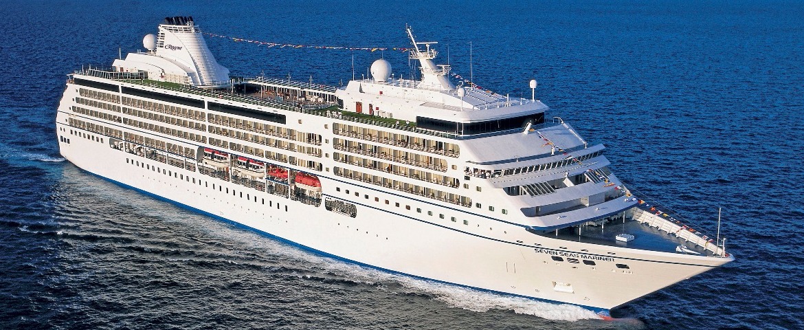

| 19 February | 69 days | One-way from Sydney to Cape Town |
450-628-6241
Call us
|
| 19 February | 69 days | One-way from Sydney to Cape Town |
450-628-6241
Call us
|
Port of Antsiranana (Diego Suarez) | Cruise Port Guide
Frequently Asked Questions
Directly at the commercial quay of Antsiranana, the main city of northern Madagascar, with no tendering. Diego Suarez bay is considered one of the largest natural harbours on the planet, and once through the entrance it opens like an inner world: nested stretches of water, peninsulas, and at the centre the Sugar Loaf, a green cone the locals hold sacred.
Yes. Rue Colbert and the centre begin one to two kilometres from the landing: an easy walk, or a ride in a yellow tuk-tuk if the heat discourages you. It is one of the few Malagasy ports where the town is genuinely within walking distance.
A grid of arcaded streets, inherited from the era when the city was a French naval base, until the early 1970s. The walk along rue Colbert leads from a busy market to the Hôtel de la Marine, past stalls of vanilla, spices and pareos. Nothing is turned into a museum: the town lives, trades and sounds its horns.
You have to pick a direction. The three bays and the Emerald Sea to the east, Amber Mountain to the south, or the town and the nearby Montagne des Français. The first two each need a good half day by 4x4 or boat; combining them is not realistic.
It is a shallow lagoon north of the bay, sheltered by a reef barrier, whose luminous green looks almost unreal. You reach it by dhow or launch depending on the weather. The programme comes down to swimming, reef fish and a grilled fish picnic, with no infrastructure beyond a sail rigged for shade. Take it for what it is.
A volcanic massif cloaked in rainforest, about 45 minutes' drive south, several degrees cooler than the coast. Waterfalls and crater lakes hide beneath tree ferns. The main trails, wide and well marked, give you a fair chance of seeing crowned lemurs, tiny chameleons and endemic birds within a few hours' walk.
Yes, but you have to earn them. East of the city, a dirt track serves Sakalava, Pigeons and Dunes, three crescents of sand still almost empty. Allow thirty to forty-five minutes of rough track by 4x4, past plantations, indifferent zebu and solitary baobabs. The near-constant wind makes these waters a well-known spot for windsurfing and kitesurfing.
The Malagasy ariary, and cash in small denominations. Malagasy is the country's language, but French is widely spoken in Antsiranana, a legacy of the naval base, and Creole is heard in the cafés. A French-speaking traveller manages here without an interpreter.
April to November, the dry season. From December to March, the rains and cyclones make the tracks difficult and the sea less reliable for dhow outings. The wind, for its part, blows nearly year round in this region.
Yes, a less familiar episode: in 1942, British troops landed nearby to prevent the harbour being used by Axis submarines. The military cemeteries on the outskirts are the reminder. It is an aspect city tours rarely mention, and it explains why this bay mattered so much to foreign navies.


