Isle of Mingulay Scotland
United Kingdom
Isle of Mingulay, Scotland | Cruise Port Guide

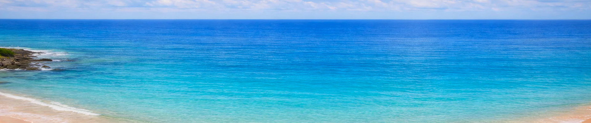
No pier awaits visitors at Mingulay. No road, no shop, no residents. This piece of land at the southern tip of the Outer Hebrides, beyond Barra, belongs to seabirds, grey seals, and the memory of those who lived here for two thousand years. Expedition ships approach by the eastern bay, and if the swell allows, Zodiacs land passengers right on the beach, just as islanders once did themselves. This old-fashioned landing, never guaranteed, is part of the adventure.

An Island of Two Faces

Seen from the east, Mingulay looks like a sloping meadow: green slopes, a bay of pale sand, turquoise water on sunny days. Seen from the west, everything changes. Gneiss cliffs plunge more than 200 metres into the Atlantic, riddled with caves and flanked by rock stacks where the swell crashes relentlessly. That double personality explains the whole history of the place: people lived sheltered on the gentle slope, and gathered eggs and wild fowl on the dizzying one.

The Abandoned Village

Above the beach, dry-stone walls emerge from the tall grass: the remains of the village, abandoned in 1912. The community, which once numbered up to 160 people, lived off fishing, some livestock farming, and gathering eggs from the cliff faces, an activity as perilous as it was essential. Isolation, the lack of anything resembling a proper harbour, and the pull of gentler lands eventually won out. Walking among the ruins of the old school and the collapsed houses, with nothing but the wind and the cries echoing from the cliffs for company, leaves few visitors unmoved. The National Trust for Scotland has looked after the site since 2000. A sailors' song popularized in the 1930s, the Mingulay Boat Song, keeps alive the memory of the rowers who made their way back to the village through rough weather; more than one guide hums it while leading groups toward the ruins.

The Birds' Metropolis

Because Mingulay has never, in its own way, been as populated as it is today. Its cliffs and sea stacks hold colonies of international importance: guillemots packed by the thousand onto the ledges, razorbills, fulmars, kittiwakes, shags. Puffins, with their brightly striped bills, dig their burrows into the grassy slopes and allow a disarmingly close approach. In spring and early summer, the noise and the aerial ballet reach an intensity rarely seen in Europe. On the beach, grey seals are often found in the dozens; the more curious ones escort the Zodiacs, nose held just above the water, coming within metres of the boats.

Walking the Island's Roof

For groups that land, a climb of about an hour up the grassy slopes leads to the rounded summits, Carnan topping out at 273 metres. There's no trail as such; you follow the sheep and the guide's lead. The reward lies at the edge of the western cliffs, at a careful distance from the drop: the view plunges down over the colonies, the sea stack of Lianamul, and the open ocean all the way to Barra Head, the very tip of the archipelago, marked by a lighthouse built by the Stevenson family.

The Privilege of Empty Places

Landing here takes luck, good weather, and a ship willing to attempt the manoeuvre. That's exactly what makes the stop so precious. Passengers who walk the beach join the small circle of those who've seen the archipelago end in splendour, between natural ramparts teeming with life and a village given back to the grass. As they head back aboard, with seals escorting the boats, everyone senses just how rare what they've experienced truly is: an hour or two in a world that has withdrawn from everything, and waits for no one.

Frequently Asked Questions

Nowhere: Mingulay has no pier at all. Expedition ships anchor in the eastern bay and land passengers by Zodiac straight onto the sandy beach, exactly as the islanders once did. When the swell is too heavy, the call becomes a slow scenic cruise along the cliffs instead.
No, and it is worth knowing before you book. The captain decides on the morning itself based on sea conditions, and a cancelled landing is part of the deal on this kind of itinerary. The western cliffs are clearly visible from deck, which is a fine consolation.
None of the above. The island has been uninhabited since 1912: no roads, no shops, no facilities of any kind. Everything you need ashore — water, a windproof layer, waterproof footwear — has to come from the ship.
Three things fit comfortably into half a day: the ruins of the abandoned village just above the beach; the grey seals, often dozens of them, hauled out on the sand; and roughly an hour's climb up the grassy slopes to the high ground, which looks down on the 200-metre cliffs of the western side.
Colonies of international importance: guillemots packed by the thousand on the ledges, razorbills, fulmars, kittiwakes and shags. Puffins dig their burrows in the grassy slopes and often let you get remarkably close. The peak is from spring through early summer.
The last residents left in 1912. The community, which at its height numbered around 160 people, lived on fishing, a little livestock and harvesting seabird eggs from the cliffs — dangerous but essential work. Isolation and the lack of a proper harbour eventually won out. The National Trust for Scotland has cared for the island since 2000.
With reservations. The Zodiac transfer, the beach landing and the rough ground all require a degree of independence. Children used to walking outdoors enjoy it enormously; with a stroller or limited mobility, staying aboard for the coastal cruise is the better call.
The pound sterling is the UK currency, but there is literally nothing to buy on the island — no shop, no cash machine. English is the working language of the Outer Hebrides, where Scottish Gaelic remains very much alive in the neighbouring villages of Barra.
May to mid-July. The seabird colonies are at their peak, daylight lasts almost all evening at this latitude, and the sea is on average calmer, which improves the odds of an actual landing. From August onward the puffins head back out to sea.