Main-Danube Canal Germany Bavaria

235 Cruises availables At departure or passage at this port

Viking River Cruises (235 Cruises)

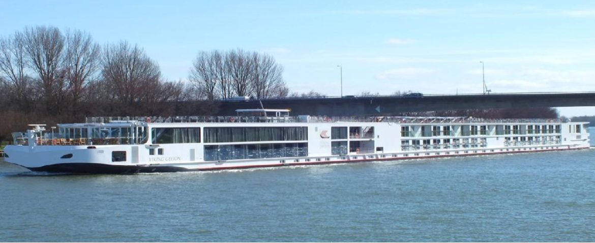
Viking Longship Gefjon.

Viking Longship Gefjon

Visit the ship's page
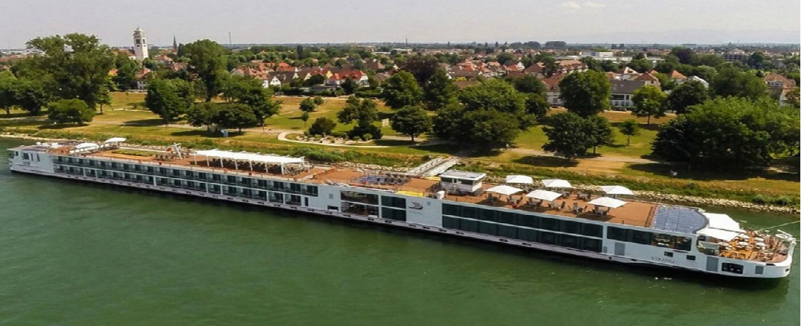
Viking Longships Baldur.

Viking Longships Baldur

240 Passengers
Visit the ship's page
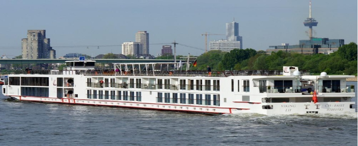
Viking Longships Lif.

Viking Longships Lif

238 Passengers
Visit the ship's page
Viking Longships Magni.

Viking Longships Magni

240 Passengers
Visit the ship's page
Viking Longships Mimir.

Viking Longships Mimir

Visit the ship's page
Viking Longships Ve.

Viking Longships Ve

Visit the ship's page
Viking Longships Vidar.

Viking Longships Vidar

238 Passengers
Visit the ship's page
Viking Longships Vili.

Viking Longships Vili

240 Passengers
Visit the ship's page

Main–Danube Canal, Germany | Cruise Port Guide

Crossing a continental divide on board a ship: that is the unusual privilege this day of sailing offers. The Main-Danube Canal is not a port of call in the usual sense, but rather a continuous show that unfolds from the upper deck. Running 171 km between Bamberg and Kelheim, this ribbon of water opened in 1992 links the Rhine basin to the Danube basin, allowing cruise ships to travel uninterrupted from the North Sea to the Black Sea. Charlemagne dreamed of it as early as 793, when his workers dug the Fossa Carolina; twelve centuries later, the idea has become a discreet river highway, tucked between the hills and church steeples of Franconia.

Sixteen Steps of Water

The principle is that of a staircase: sixteen locks lift and then lower ships over the heights that separate the two basins. The most impressive, at Hilpoltstein, Eckersmühlen and Leerstetten, raise or lower vessels 24.7 m in a single movement. Entering the lock chamber feels almost solemn: the gates close, the water rises or drains away along concrete walls streaked with algae, and the entire ship rises like a slow-motion elevator. Many passengers watch for every passage; others end up recognizing, by sound alone, the moment the sluices open.

The Navigable Roof of Europe

Near Hilpoltstein, a marker on the bank points out a spot that nothing else distinguishes: the summit of the canal, at an elevation of 406 m. It is the highest point in the world reachable by commercial shipping from the sea. On either side of this ridge, the water no longer flows in the same direction: on one side it ends up in the North Sea, on the other in the Black Sea. The crossing is often celebrated on board, and the moment invites a thought for the generations of engineers who struggled with this barrier, from the Middle Ages to the 19th-century Ludwig Canal, too narrow to last.

A Landscape Gliding By in Silence

Between the locks, the canal crosses a rural Franconia that few road tours ever show: villages with onion-domed steeples, orchards, pine forests, herons standing motionless on the riprap. In its southern section, the route follows the Altmühl Valley, at the heart of a nature park where pale limestone cliffs and dry meadows frame the water. Cyclists on the path along the bank wave to the boats, while anglers barely look up. The reduced speed sets the pace: this is a day for reading on deck, binoculars within reach.

The Three Great Locks

LockHeight Difference
Leerstetten24.7 m
Eckersmühlen24.7 m
Hilpoltstein24.7 m

These three structures follow one another near the highest point; their chambers are among the deepest in Europe, and passing through them frames the crossing of the continental divide.

Crossing Essentials

  • Total length: 171 km between Bamberg (Main basin) and Kelheim (Danube basin).
  • Sixteen locks in all; the full crossing generally takes one day of sailing.
  • Highest point at an elevation of 406 m, near Hilpoltstein, marked on the bank.
  • Best viewing spot: the upper deck, toward the bow if possible; the wheelhouse is sometimes lowered under low bridges.

Before Returning to the Rivers

When the ship descends the last step and returns to a real river, the landscape suddenly seems to come back to life: the current, the eddies, the irregular banks. Yet the day spent on the canal leaves a lasting impression, that of having taken a secret passage through the continent. Maps of Europe read differently afterward: between Rotterdam and the Black Sea, there is now just one long waterway, and you have just crossed its keystone.

Frequently Asked Questions

A day of cruising, with no going ashore. The Main-Danube Canal is not a port: it is a 171 km run between Bamberg and Kelheim that the ship transits end to end, and the show is watched from the upper deck.
In Bavaria, between Bamberg in the Main basin and Kelheim in the Danube basin. Opened in 1992, it links the Rhine and Danube basins and allows uninterrupted navigation from the North Sea to the Black Sea.
Sixteen. Three of them, at Hilpoltstein, Eckersmühlen and Leerstetten, raise or lower ships 24.7 m in a single movement; their chambers are among the deepest in Europe.
Watch. The upper deck, forward if possible, is the best vantage point for the locks and the Franconian countryside. It is a day for reading, photographs and keeping binoculars handy.
The canal high point, 406 m above sea level near Hilpoltstein, marked by an inscription on the bank. It is the highest passage in the world reachable by commercial navigation from the sea, and crossing it is often celebrated on board.
Yes, at least once. The gates close, the water rises or drains along the concrete walls, and the whole ship lifts like a slow-motion elevator. Some passengers watch every transit; others learn to recognise by sound alone the moment the valves open.
A rural Franconia few road tours show: villages with onion-domed steeples, orchards, pine forests, herons on the rip-rap. In its southern stretch the route follows the Altmühl valley, between pale limestone cliffs and dry meadows.
It depends on temperament. The locks fascinate children who like machinery, but the day is slow and there is no going ashore. Bring something to occupy younger ones between locks.
Yes. Low bridges sometimes require superstructures to be lowered and the upper deck to be closed temporarily. Follow the crew instructions; accessible areas change from one stretch to the next.
April to October, while river cruises operate. The long days from May to August let you see most of the route in daylight, which matters when the entire interest is outdoors.