List auf Sylt Sylt Island Germany
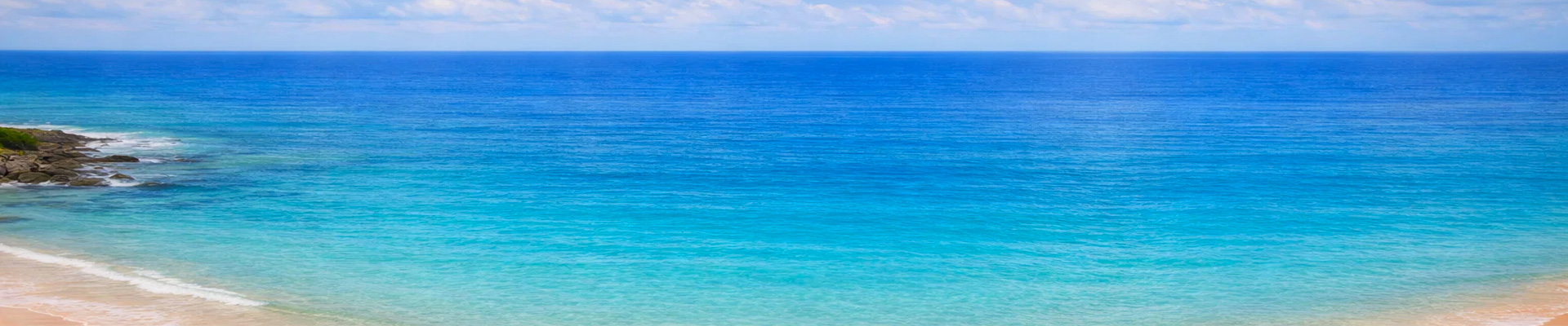
Port of List, Sylt Island | Cruise Port Guide

The air tastes of salt and iodine long before the tender touches the quay. In List, at the very north of the island of Sylt, the Wadden Sea recedes twice a day, leaving behind kilometres of glistening mudflats where shorebirds peck about. Ships drop anchor offshore and tenders drop passengers right at the small harbour, between the masts of fishing boats and the thatched roofs of Frisian houses. From the first steps, the setting makes things clear: here, nature is in charge, and the village has simply settled on its edges.

A Pocket-Sized Harbour Facing the Sea

The harbour basin can be explored in a few minutes, and that is precisely its charm. The old barrel halls, the Alte Tonnenhalle, now house small shops where you can browse among woollens, nautical objects and local treats. Smoked fish counters follow one another along the quays; the Gosch brand, born right here, has been serving its herring and shrimp for decades to customers seated facing the boats. Around them, Scandinavian-inspired restaurants line up their wooden patios, and the comings and goings of the ferries set the rhythm of the day.

Understanding the Wadden Sea

A stone's throw from the harbour, the Erlebniszentrum Naturgewalten explains this unusual landscape. Its interactive exhibits tell of tides, storms, seals and the forces that have shaped this coastline for millennia. The visit sheds light on what you then observe outside: this intertidal sea, a UNESCO World Heritage Site, is among the largest mudflat systems on the planet. Families easily spend an hour or two here, especially if the sea wind picks up.

The Ellenbogen Dunes

North of the village stretches the Ellenbogen, an elbow-shaped ridge of dunes marking Germany's northernmost point. Walkers find sandy trails between marram grass and heather, two lighthouses as landmarks and, often, free-roaming sheep that maintain the heath. The landscape comes down to three elements, sand, sky and water, and that is exactly what people come for. Depending on the tide, the beach reveals sandbanks where harbour seals sometimes rest.

On the Water, Toward the Seal Colonies

From the harbour, the Adler fleet's excursion boats offer outings to the sandbanks where seals bask, or crossings to the Danish island of Rømø, visible on the other side of the sound. These outings usually last one to two hours and are booked on site, depending on port call times. Staying aboard a smaller boat, close to the water, gives a whole different sense of this ever-changing sea.

Port Call Pointers

  • Anchored port call: tenders to the centre of List village, from where everything is reached on foot.
  • Erlebniszentrum Naturgewalten: by the harbour, exhibition on the Wadden Sea and its natural forces.
  • Ellenbogen: dune peninsula to the north, accessible to walkers; bring a windbreaker, even in summer.
  • Boat excursions: seal watching or crossing to Rømø, departing from the harbour basin.
  • Sylt lines up nearly 40 km of sandy beaches along its west coast.

Before Heading Back on Board

Many passengers end the port call with a paper cone of shrimp in hand, sitting on the quay watching the light change over the mudflats. List doesn't try to impress; Sylt lets the wind, the tides and the birds carry the conversation. Back on the tender, you keep in mind that perfectly flat horizon where the sky takes up almost all the space, and a lingering urge to come back and walk on the sand once the sea has receded again.

Frequently Asked Questions

By tender. Ships anchor offshore and shuttle boats set passengers down directly at the small harbour, between the masts of fishing boats and the thatched roofs of Frisian houses.
At the very northern end of Sylt Island, in the German North Sea, facing the Wadden Sea. The Ellenbogen, just north of the village, marks the northernmost point of Germany.
A turn around the harbour and the Alte Tonnenhalle, the Erlebniszentrum Naturgewalten to make sense of the Wadden Sea, then a walk in the Ellenbogen dunes. A boat trip to see seals is possible if the schedule allows.
A tidal sea that withdraws twice a day, leaving kilometres of glistening mudflats where shorebirds feed. A UNESCO World Heritage site, it is among the largest mudflat systems on the planet.
An interpretation centre by the harbour whose interactive displays explain tides, storms, seals and the forces that have shaped this coast for millennia. Families easily spend an hour or two there, especially when the wind picks up.
An elbow-shaped spit of dunes north of the village. Sandy paths between marram grass and heather, two lighthouses as landmarks, and often free-roaming sheep keeping the heath in check. The landscape comes down to sand, sky and water.
Yes. Excursion boats leave the harbour for the sandbanks where seals haul out, generally one to two hours, booked locally according to your call times. Depending on the tide, the Ellenbogen beach also reveals banks where harbour seals sometimes rest.
Smoked fish, herring and shrimp, from the counters lining the quays. The Gosch chain, born right here, has served its specialities for decades to customers seated facing the boats.
The euro. Restaurants and the interpretation centre take cards, but the fish counters and small shops in the Alte Tonnenhalle often prefer cash. Bring notes.
Bring a windbreaker, even in summer. The onshore wind is constant on this coast and rarely drops. Shoes that cope with sand are a good idea too if you plan to walk in the dunes.